Monitoring of green corridor and residents’ quality of life
CONTEXT
Placing nature at the center
of urban development
Urban vegetation is a key element in enhancing the quality of life for urban residents and maintaining ecological balance. Serving as a vital component of the urban landscape and ecosystem, it is instrumental in ecological processes such as biodiversity conservation, air purification, carbon sequestration, and water management.
Furthermore, urban vegetation contributes significantly to the promotion of human health and both individual and collective well-being. It facilitates thermal comfort, regulates pollutants, fosters social cohesion, provides recreational spaces, and boosts tourism.
Nevertheless, municipalities often lack comprehensive information about their vegetal heritage and its impact on population well-being, particularly concerning thermal comfort. Addressing this information gap, TerraNIS developed Langdia several years ago (ex Greencity), with the aim of tackling the ecological transition challenge in cities and overcoming this barrier.


OUR SOLUTION
Landia, an urban
vegetation observatory
Our solution, Landia Urban Vegetation, enables municipalities to analyze, monitor, and manage urban vegetation cover. We generate vegetation maps from satellite images and present them through an online observatory for municipalities. This tool aims to provide an overview of a territory’s vegetation, allowing assessment of its level of vegetalization at various scales, as well as monitoring and evaluating measures implemented on the ground (such as “tree” plans, “canopy” plans). Landia also serves as a decision support tool, enabling the targeting of priority action areas through a range of thematic indicators.
Interested in testing Landia in your area? Request a demo to discover how our solution works!
INDICATORS
Some examples of indicators
for your municipality

57%
VEGETATED AREA

23%
CANOPY INDEX

16%
PUBLIC VEGETATED SPACE

677m²
AREA OF VEGETATED SPACES PER INHABITANT

67%
ACCESSIBILITY TO A PUBLIC GREEN SPACE
SERVICES
Discover our other services for
managing your territories
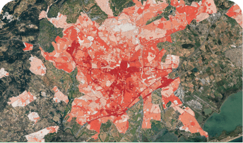
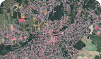
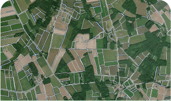
Urban vegetation, heat islands, soil artificialization, agroecological infrastructures: discover all our services for managing your territories!

ANALYSIS OF URBAN CLIMATOLOGY AND IDENTIFICATION OF HEAT ISLANDS

MAPPING, ANALYSIS, AND MONITORING OF LAND SEALING

MAPPING, MONITORING, AND CHARACTERIZATION OF
NATURAL, AGRICULTURAL, AND FOREST SPACES

MAPPING OF FOREST AREAS AND
BURNED AREAS FOLLOWING FIRES
